Support OpenDurham.org
Preserve Durham's History with a Donation to Open Durham Today!
OpenDurham.org is dedicated to preserving and sharing the rich history of our community. Run by our parent nonprofit, Preservation Durham, the site requires routine maintenance and upgrades. We do not ask for support often (and you can check the box to "hide this message" in the future), but today, we're asking you to chip in with a donation toward annual maintenance of the site. Your support allows us to maintain this valuable resource, expand our archives, and keep the history of Durham accessible to everyone.
Every contribution, big or small, makes a difference and makes you a member of Preservation Durham. Help us keep Durham's history alive for future generations.
Comments
Submitted by John Martin (not verified) on Thu, 7/12/2007 - 3:23am
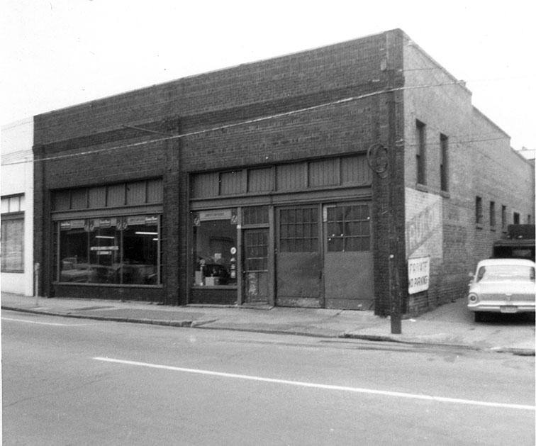
Wow, in the first picture you can still see some large houses on Mangum Street. Some of them must have been torn down when the loop was. . .(I don't want to say built for anything as destructive as the loop) inflicted. But there is a particularly large house in the top/center of the first picture on the west side of Mangum. Any idea what that was?
As I look at the picture more, I am wondering if it isn't earlier than 1960. The cars, admittedly small, look older than that.
Submitted by Gary (not verified) on Thu, 7/12/2007 - 11:04am
John
I believe it was a private home - I don't have any great pictures of that house, although I do have partial views from a couple of angles. You'll see it again in a couple of days when I do the gas station.
Re: date - the picture was labelled 1960, but the dates are not infrequently wrong. Looking at the larger picture (from which I cropped this,) I can say definitively that it is after 1945. The land transfers for the auto/tire dealerships on the corner of Morgan and Rigsbee happened in 1950 and 1954, so I'm guessing it is after 1950. There is also one facade covering on Main St., which I don't think was around prior to the 1950s.
So, without really knowing the cars very well (Paul - are you out there?) I'd guess that this is sometime in the 1950s, probably after 1954.
However, the houses on Mangum, including the large one you mention, were still around into the 1960s. That one in particular was still present in 1966.
Urban renewal took out a wide enough swath to build the Loop through this section - clearing both sides of the street and the A&P that was in its future path just out of the frame to the right (east.)
GK
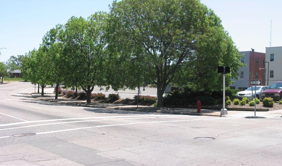
Submitted by Anonymous (not verified) on Fri, 7/13/2007 - 12:59am
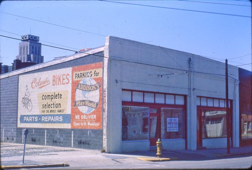
The trees in the last photo look like Bradford Pear trees. If that is the case, they won't be there long. After 15 years or so, the limbs on a BP tree get too heavy and start breaking off during snow, ice, and wind storms. So I'm not so sure they add that much value to the property.
bj
Submitted by Gary (not verified) on Fri, 7/13/2007 - 1:04am
bj
I don't think they are Bradford Pear trees. I thought they were as well and had the same thought, but looking at the leaves after I took the pictures, they were different than BP leaves. I am not sure what they are, though.
GK
Add new comment
Log in or register to post comments.