(Courtesy Duke RBMC)
Some of the buildings I've most enjoyed seeing re-done in other cities are train-related - stations/depots of course, but also the kind of wholesale companies that lined the railroad tracks in many cities. A line of these type of structures were spread along the railroad tracks along the 300 block of East Peabody St.
(Courtesy Duke RBMC)
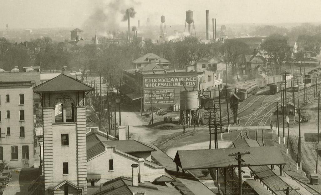
Looking east from the First National Bank building, 1920s - the structures begin with "MV Lawrence Wholesale." (A host of other interesting structures are visible in this shot - Carr's Somerset Villa straight ahead at the end of Peabody St., the tower of Hosiery Mill No. 1 just to its right, and the tower of the Commonwealth Cotton Co. to the right of the smokestacks.)
(courtesy Duke Archives)
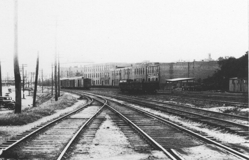
Below, another view of these buildings from Dillard St. at the tracks, looking northwest, ~1920s.
(Courtesy Durham County Library)
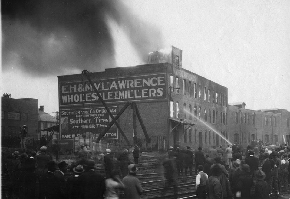
In the 1920s, the largest of these structures, EH and MV Lawrence's Wholesale & Millers burned.
Looking northeast, 1920s
(Courtesy Duke RBMC)
I profiled the MV Lawrence house, which was a few blocks away on Liberty St., a few months ago.
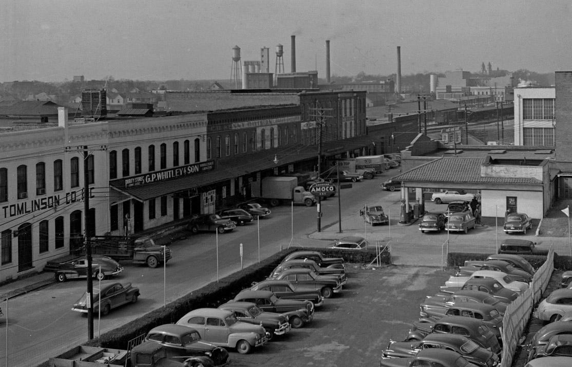
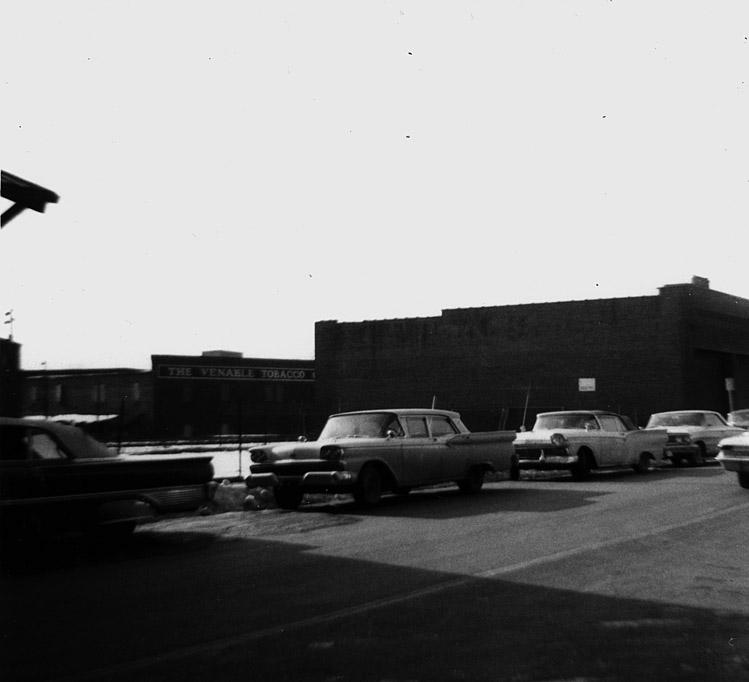
The entire row of 300 East Peabody - looking southwest from the top of the Sears building, 1950s
(Courtesy Nathan Adams)
It appears this structure was demolished prior to urban renewal.
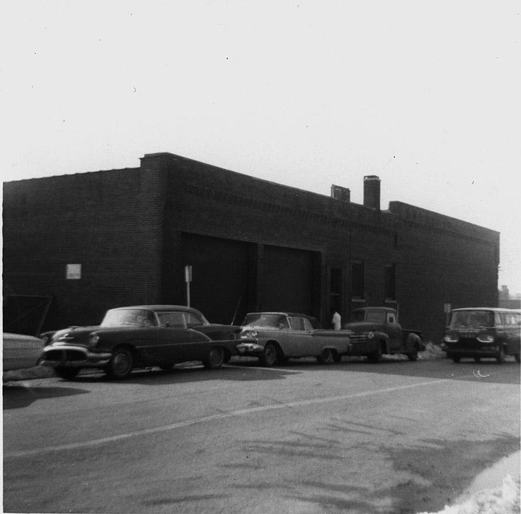
312 East Peabody - (Urban Renewal appraisal photo - courtesy Durham County Library) with a gap to the left.
The former 314-318 East Peabody. (Urban Renewal appraisal photo - courtesy Durham County Library)
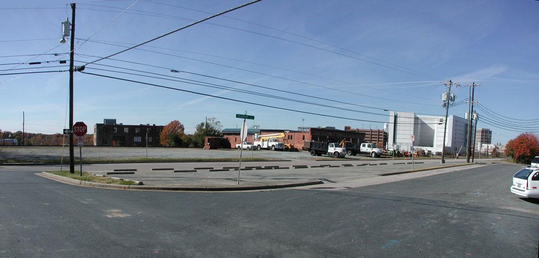
Ramseur St. was extended west through their former location to connect to the Loop just west of Roxboro. You can still see a forlorn stretch of the original East Peabody here today, just north of the current Ramseur St.
Looking southwest from South Queen and E. Peabody, 2007. (Photo copyright Gary Kueber)
The section of East Peabody just to the east of this was taken over for parking lot by the Health Department. Originally Peabody stopped (as in the above 1920s photo at Dillard St., but after Somerset Villa was torn down, it was extended east to S. Elizabeth. Ironically, this is the stretch which survives - although it is likely to be snuffed out for the county parking lot.
Add new comment
Log in or register to post comments.