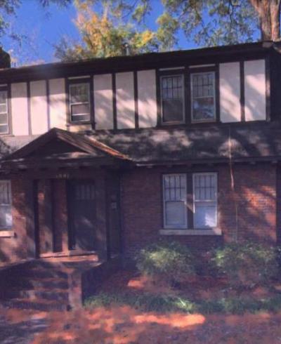
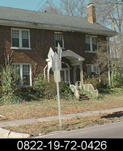
North Gregson Street

Gregson Street is named for Amos Gregson, a Methodist minister appointed in 1886 to lead a mission church in the Duke tobacco factory. The mission, supported by the Duke Family,  became Main Street Methodist Church, located at the corner of South Gregson Street and West Main Street.

Per History Beneath Our Feet:

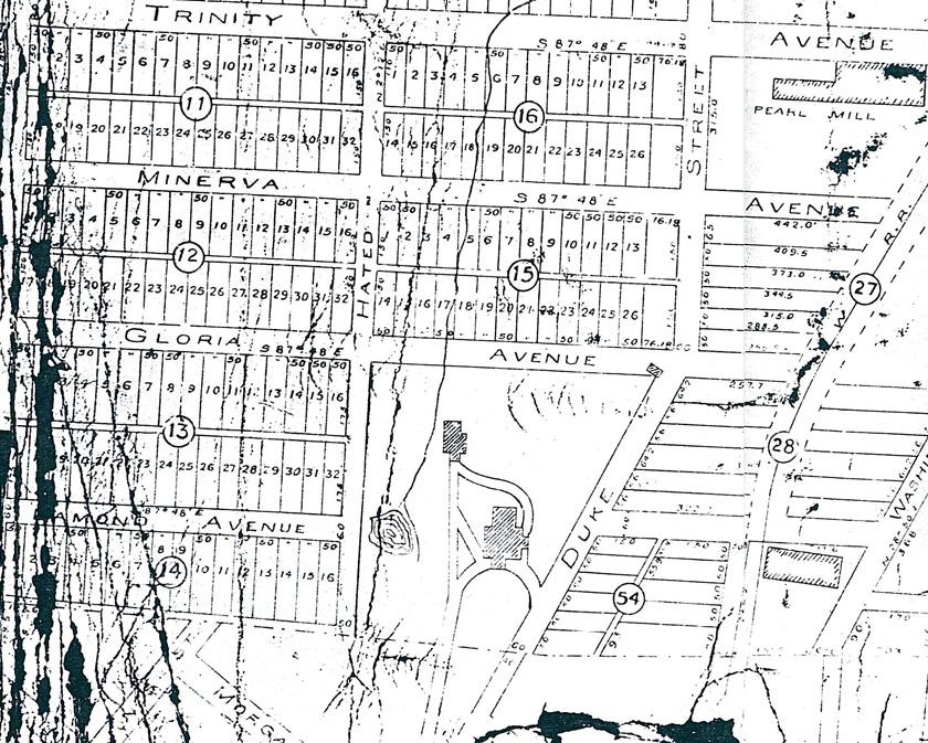
"Gregson Street" made its earliest appearance on the 1902 Sanborn Insurance Map, running north and east from Jackson Street to Main. North of Main Street, what is now a segment of Gregson Street is identified on a 1901 plat as "Hated Street."


The plat covers the southern section of present-day Trinity Park, an area Brodie L. Duke had laid out for development by 1901. If the street names on the plat are read east to west they read "Washington Duke Hated Watts" - presumably reflecting some animosity between Brodie Duke and George W. Watts, the only non-family partner in the Dukes' tobacco firm.

No doubt, the family found Brodie's joke an embarrassment, and on the 1907 Sanborn Map, the name appears as "Brody" - presumably a misspelling of "Brodie" - although "Hated" appears as late as a 1922 plat of property between Green and Demarius streets in northern Trinity Park.

Eventually, Brody Street was joined to Gregson and the entire street took that name. The plat covers the southern section of present-day Trinity Park, an area Brodie L. Duke had laid out for development by 1901. If the street names on the plat are read east to west they read "Washington Duke Hated Watts" - presumably reflecting some animosity between Brodie Duke and George W. Watts, the only non-family partner in the Dukes' tobacco firm.

See also South Gregson Street.