Support OpenDurham.org
Preserve Durham's History with a Donation to Open Durham Today!
OpenDurham.org is dedicated to preserving and sharing the rich history of our community. Run by our parent nonprofit, Preservation Durham, the site requires routine maintenance and upgrades. We do not ask for support often (and you can check the box to "hide this message" in the future), but today, we're asking you to chip in with a donation toward annual maintenance of the site. Your support allows us to maintain this valuable resource, expand our archives, and keep the history of Durham accessible to everyone.
Every contribution, big or small, makes a difference and makes you a member of Preservation Durham. Help us keep Durham's history alive for future generations.


Comments
Submitted by David N. (not verified) on Wed, 5/26/2010 - 3:13pm
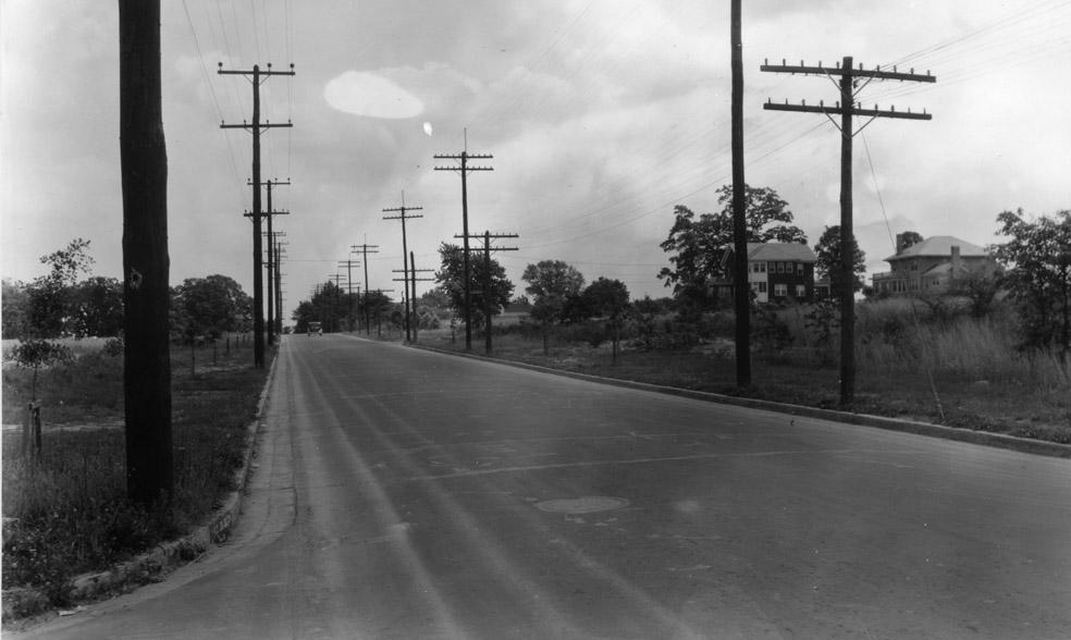
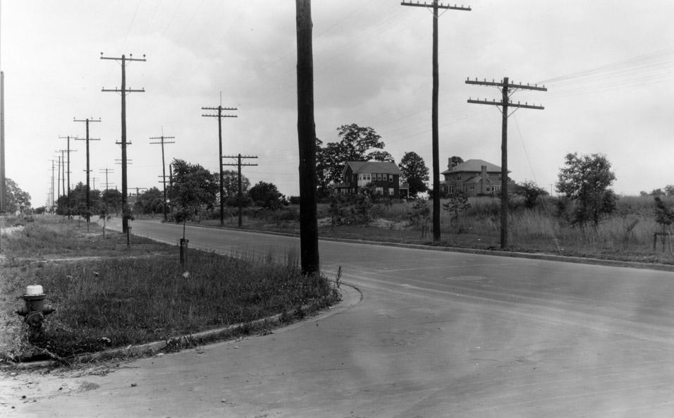
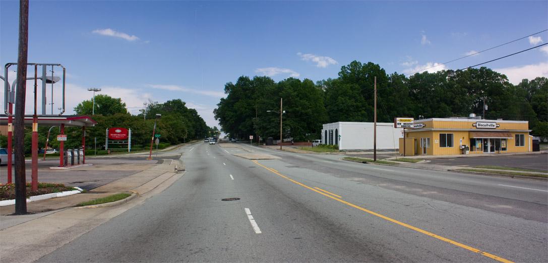
Gary, do you have a Sanborn showing those two houses? I'm having trouble reconciling the photos with the Sanborn posted on Monday, which shows Watts intersecting Club from the south, but "not opened" from the north. Today's photos instead appear to show a road intersecting Club from the north (and apparently traveled, if the tire marks on the pavement are any indication) but no continuation to the south of Club. Any idea why this might be?
Submitted by Gary (not verified) on Wed, 5/26/2010 - 3:24pm
David
I realize I actually took the after photo a bit too far to the west - I should have taken it a short block further to the east, at Watts - you can see the Watts intersection by the Northgate sign. It appears on the Sanborn that the intersection with Watts existed to the north, although unopened beyond a point. Not sure about the the south - it could just be the angle of the picture, or perhaps that section of Watts opened between 1931 and 1937, with the previous northbound traffic heading up the curve of Guess Road.
The two houses are still standing on Gregson.
GK
Submitted by David N. (not verified) on Wed, 5/26/2010 - 4:33pm
Ah, that explains it: I was trying to locate those houses on Dollar Ave.
You can see the backs of those houses in bing's birds eye view. The house on the right is especially clear:
http://tinyurl.com/2ejfedr
Submitted by Anonymous (not verified) on Wed, 5/26/2010 - 5:56pm
Interesting that there are telephone poles on BOTH sides of the street. Does anyone know if that was customary back then and if so, why?
Submitted by David N. (not verified) on Thu, 5/27/2010 - 4:16pm
Is one set of polls perhaps power and the other telephone?
Add new comment
Log in or register to post comments.