108 N. Queen St.

35.993128, -78.896333

108
Durham
NC
Year built
1890-1920
Year demolished
1960-1963
Construction type
Neighborhood
Building Type
Can you help?
You don't need to know everything, but do you know the architect?
Log in or register and you can edit this.

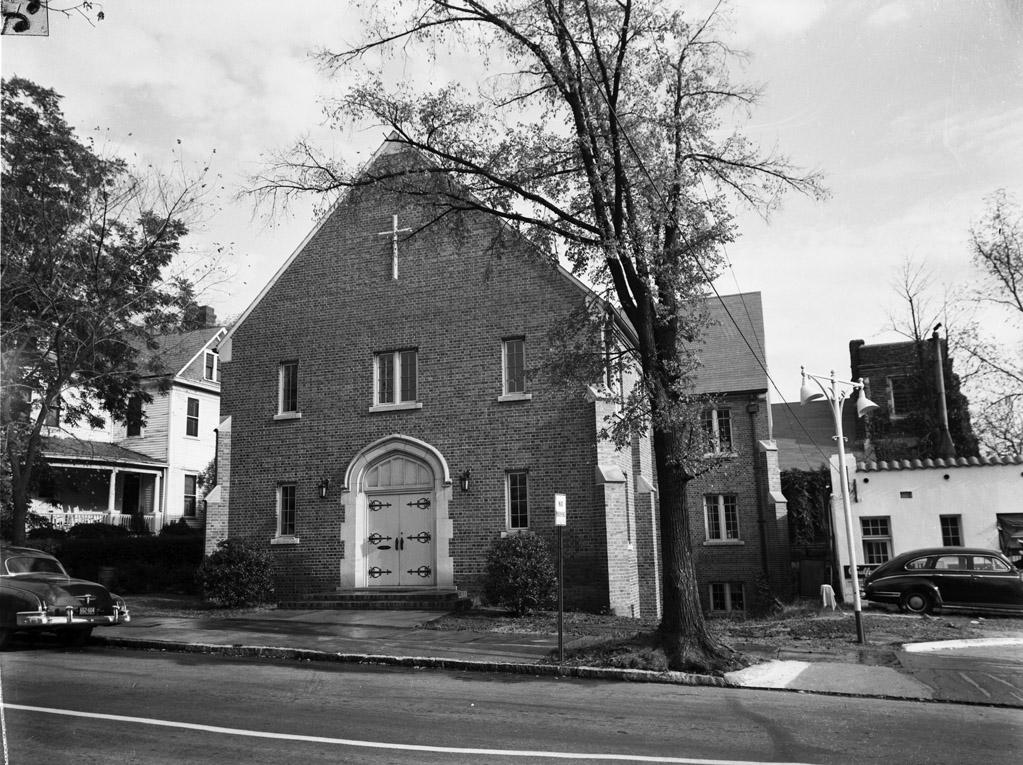
The building immediately visible in the picture above is not 108 N. Queen - the smidgen of the building to its left is the best view I can muster of 108 N. Queen.

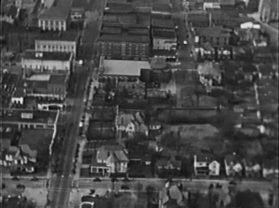
Looking west from the intersection of N. Queen and E. Main (in the foreground), 1940.

This blurry shot gives a sense of the pattern of houses on the west side of the 100 block of N. Queen St., typically large houses, somewhat less grand than those that once existed along East Main (a few of which are still visible in this view.)

There are no good individual views of the east side of the street - the only glimpses come from the background of St. Philip's shots.


A view of the 1908 church entrance, looking northwest (which shows a residential structure on Queen St. in the background)
(Courtesy St. Philip's Archives)


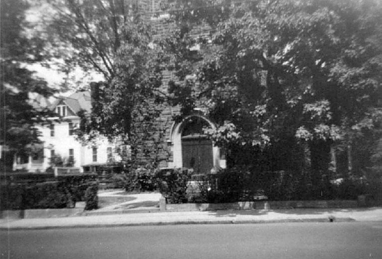
Looking east-northeast, 1950s with the same residential structure to the left.
(Courtesy Herald-Sun)

It appears that the structures on the east side were likely taken down by St. Philip's in the 1960s.

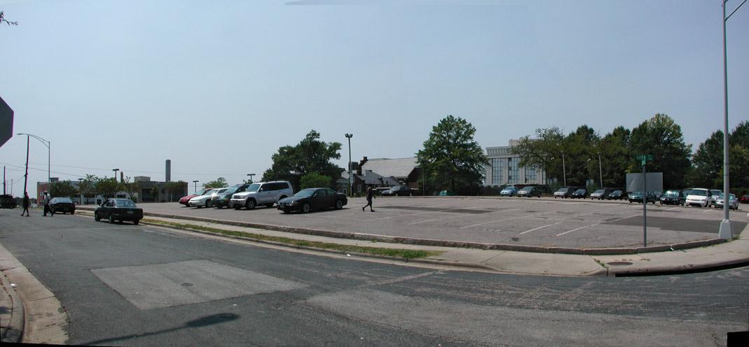
Urban renewal took this struggling old neighborhood behind the barn and shot it. This area became surface parking, eventually for the county.

100NQueen_W_2007.jpeg

Looking southwest, summer 2007.

I've envisioned previously how Durham County could do good things with this vast waste of space. The current plan is to build a parking deck here, someday. One hopes that parking deck will be wrapped with retail frontage, but I'm not sure the county sees good urban design as part of its purvey. But in this big land parcel lies the oh-so-important opportunity to help bridge the gap between Roxboro and Golden Belt/Hosiery Mills/HOPE VI. Let's hope the county can see their way to make the best of it.

Add new comment

Log in or register to post comments.