Support OpenDurham.org
Preserve Durham's History with a Donation to Open Durham Today!
OpenDurham.org is dedicated to preserving and sharing the rich history of our community. Run by our parent nonprofit, Preservation Durham, the site requires routine maintenance and upgrades. We do not ask for support often (and you can check the box to "hide this message" in the future), but today, we're asking you to chip in with a donation toward annual maintenance of the site. Your support allows us to maintain this valuable resource, expand our archives, and keep the history of Durham accessible to everyone.
Every contribution, big or small, makes a difference and makes you a member of Preservation Durham. Help us keep Durham's history alive for future generations.

Comments
Submitted by nico (not verified) on Mon, 3/19/2007 - 2:30am
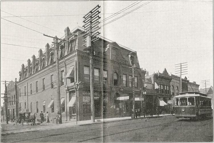
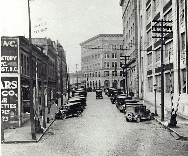
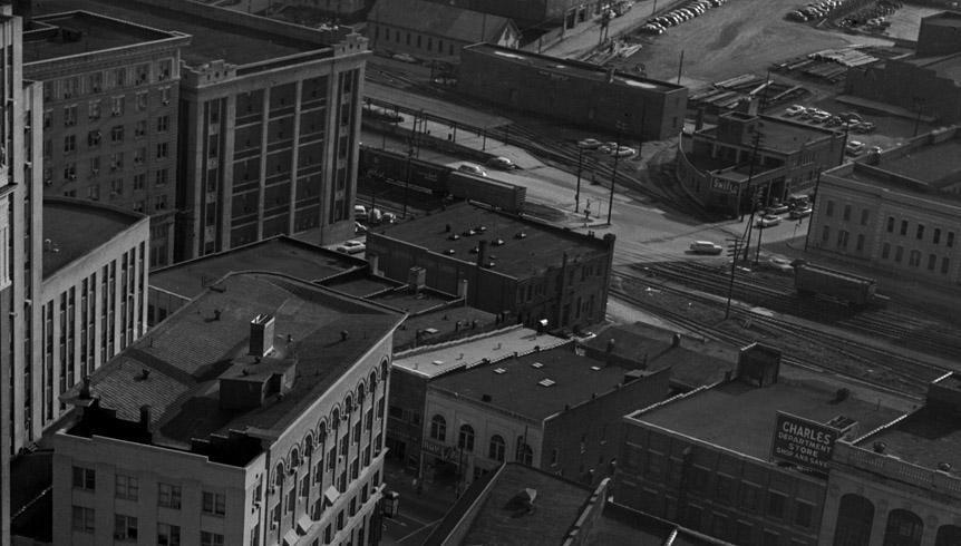
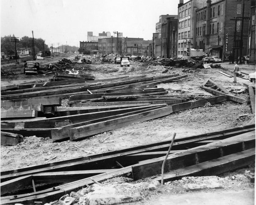
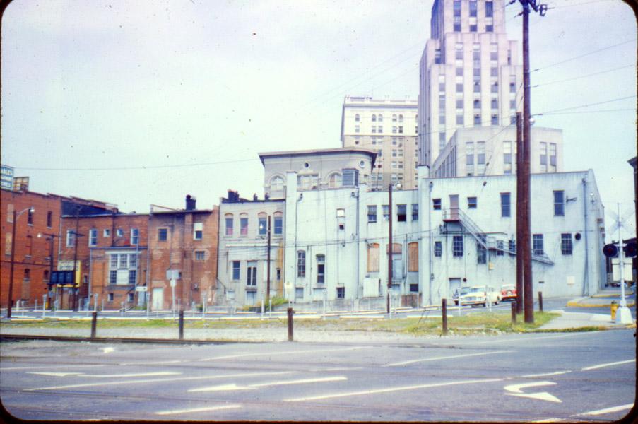
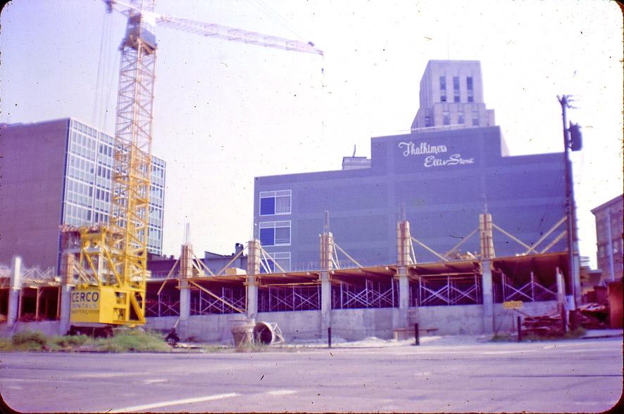
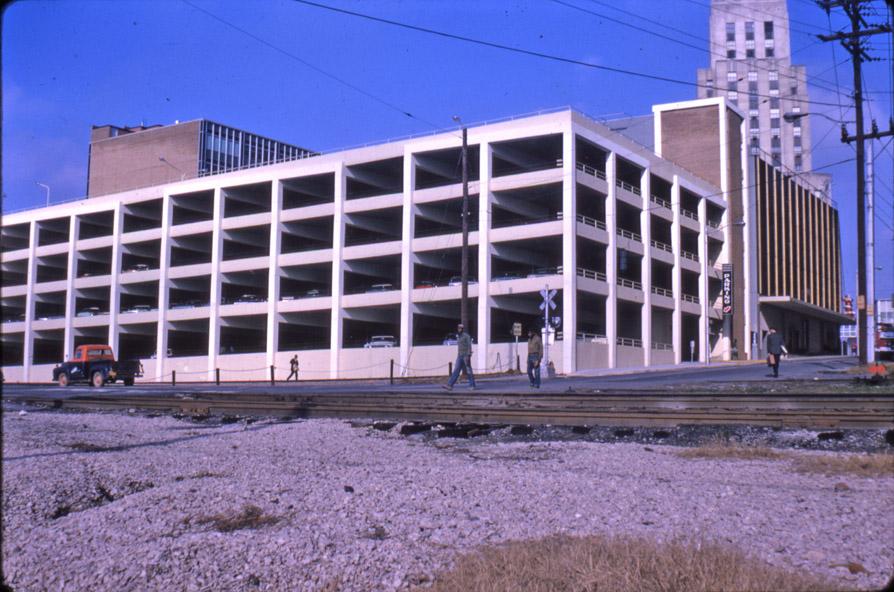
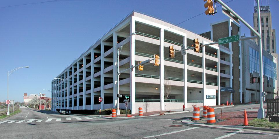
Nicely demonstrated in pictures. I love calling it The Crossing.
I wrote about this same Crossing in '04, saying then that developers needed to address it. I hope we can get the right attention focused on it one day.
http://www.nicomachus.net/2004/09/column_city_needs_to_link_its.html
Submitted by Gary (not verified) on Mon, 3/19/2007 - 2:44am
Nico
Nice writeup, very prescient. I focus in on these land uses (I said something similar in the post about the other side of the street - the hosiery mill) because it is city-owned land, and I don't think the powers-that-be understand how building design affects physical activity. Our perception of distance is changed by the emptiness or fullness of our surroundings, and the scale of the design. So while not much is likely to occur to actually shrink the distance between the Old Bull building and the southeast corner of the parking deck, things could be done with these corners to mitigate the perceived distance.
I've only crossed on a bike a few times, heading north, and I was usually out of breath by the time I was crossing the tracks and thinking of the multitude of ways I could get hit.
Much thanks again for the nice writeup on your site, btw.
GK
Submitted by Michael (not verified) on Mon, 3/19/2007 - 3:22pm
That intersection is definitely the worst one when making the connection between the ATT and the northern greenway. Other than that, it's a pleasant ride, but particularly going north, huffing across Pettigrew, the tracks, and then Ramseur is a bear.
The big problem with this crossing, and why I think absolutely nothing has been done, is the railroad. NCRR is still determined to reduce pedestrian crossings for "safety reasons," which I think is a mix of legitimate concern for the fatalities that have happened there and a desire to let the trains move through Durham faster.
Currently laid plans don't hold much hope either. If the TTA rail ever gets built, it's currently slotted to significantly raise the rail bed there in order to improve the crossings at Roxboro. This is not only going to muck up the pedestrian presentation from the south -- it's also going to visually bury the first story of the Old Bull warehouse.
I still say the only long term solution -- particularly in 20 years when, hopefully, the southeast high speed rail plan actually starts getting implimented -- is going to be a rail trench through downtown. By the time it's built, it could cost close to a billion dollars, but the potential advantages of increased rail speeds and the recovery of lots of downtown real estate I think will eventually make it worth it.
Submitted by Gary (not verified) on Mon, 3/19/2007 - 8:19pm
Michael
I agree with you that the obdurate nature of NCR is a major problem along here, and I share your hope that we will one day see big changes in the entire rail paradigm, including an integrated, 21st century infrastructure.
I do think there are things we can do with the roadways and land uses on either side of the tracks to improve things. One place where I disagree with some preservationists (notably the Nat'l Park Service) is with respect to the need to maintain a 'purity' of a historic structure in its current state. I know the NPS would never allow tax credits if Captiol were to reconstruct the eastern, upper-floors of the Bull Building (just as they wouldn't for Blue Devil Partners and the New Cigarette Factory). But I'm more in favor of good design, and if that involves fixing the damage caused to a structure through alteration, I'm all for it.
That is to say, this comes back to enclosure - taller buildings with adequate relief and detail, as close as possible to the roadways, would effectively shrink the perception of space. The Bull Building was never intended to be so short at its northeast corner.
GK
Submitted by Daniel (not verified) on Tue, 3/20/2007 - 1:22am
I remembered hearing about a 'development bridge' in the downtown master plan. It is discussed toward the end of chapter 7.
http://www.durhamnc.gov/departments/eed/pdf/ch_07.pdf
The DPAC has made the development bridge envisioned here impossible, but I have wondered if a narrower version could still work. I'm not sure what Capitol has planned for the northern end of its land along Blackwell and the RR tracks (opposite the Bull Building), but I've wondered if something could be built there that included a bike/ped ramp and bridge over the tracks. Of course, another building would need to be put in on the other side of the tracks (where there is currently a surface parking lot). Maybe there isn't room, or it would be too difficult to work out the logistics. Maybe it would be a total eyesore, but there may be a way to do it tastefully. What do y'all think?
Add new comment
Log in or register to post comments.