Support OpenDurham.org
Preserve Durham's History with a Donation to Open Durham Today!
OpenDurham.org is dedicated to preserving and sharing the rich history of our community. Run by our parent nonprofit, Preservation Durham, the site requires routine maintenance and upgrades. We do not ask for support often (and you can check the box to "hide this message" in the future), but today, we're asking you to chip in with a donation toward annual maintenance of the site. Your support allows us to maintain this valuable resource, expand our archives, and keep the history of Durham accessible to everyone.
Every contribution, big or small, makes a difference and makes you a member of Preservation Durham. Help us keep Durham's history alive for future generations.

Comments
Submitted by Natalie&Harris (not verified) on Fri, 8/15/2008 - 12:50pm
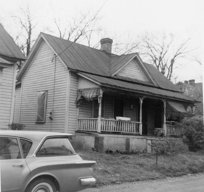
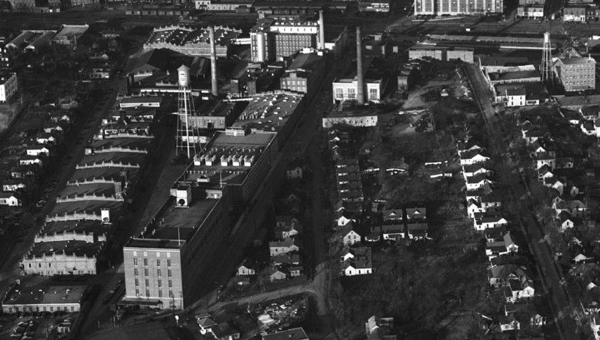
Everytime I see pictures of these row houses I think of that scene in It's a Wonderful Life where they are describing row after row of the prettiest little houses in Bailey Park all owned by people who used to pay rent to Potter.
Were the people who lived over there renting the houses or did they own them?
Submitted by Gary (not verified) on Fri, 8/15/2008 - 1:05pm
Natalie and Harris
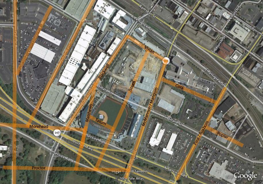
The vast majority of housing in this area was rental - I don't have the specific records for these houses at the moment, but I can tell by the way I digitized the pictures that, for instance, the three houses on the south side all had one owner, and one of the houses on the north side was owned by someone who owned houses on Matthews as well. Demographics from the 1930s indicate that Matthews, Tatum, and Proctor were majority African-American; the ridgelines of South and McMannen to the east were majority white. As I move past that to the east, further into Hayti, there will be a lot of housing that resembles this.
GK
Submitted by Andrew Edmonds (not verified) on Mon, 8/18/2008 - 12:46pm
Gary, on the 1891 bird's-eye map of Durham a large, four-story structure is shown on the south side of Tatum Place; any clue what that was?
Submitted by Gary (not verified) on Mon, 8/18/2008 - 1:52pm
Andy
I don't know. There's no clear business address on Tatum in the 1892 City Directory, and by the 1898 Sanborn maps (the first to cover the spot) it appears the building has been replaced with two duplexes.
GK
Submitted by Anonymous (not verified) on Wed, 8/20/2008 - 3:06am
Would it be possible the four story building on the 1891 map is the Red Cross?
Add new comment
Log in or register to post comments.