300 Cleveland St.

35.995245, -78.897849

300
Durham
NC
Cross Street
Year built
1928-1940
Year demolished
1968
Construction type
Neighborhood
Building Type
Can you help?
You don't need to know everything, but do you know the architect?
Log in or register and you can edit this.


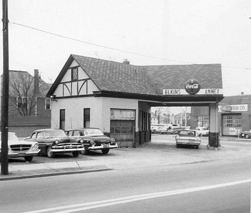
Looking southeast from Cleveland St., just north of the Church/Liberty/Cleveland intersection - 1966.


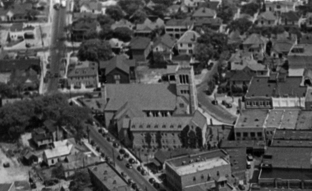
Looking east, 1938.
(Courtesy Duke Archives)

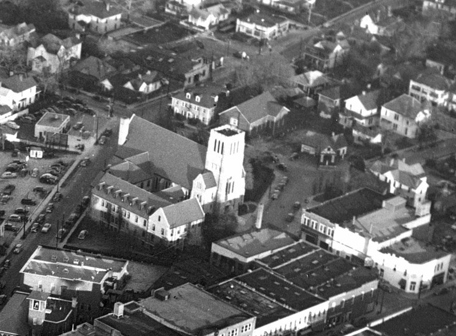
The intersection of Liberty/Cleveland/Church Sts. formed an interesting intersection - sort of an 'inverted Y'. This area was a mix of neighborhood commercial, apartment buildings, and single family residencies - a transition area to the more tightly residential East End / Cleveland-Holloway neighborhood to the east and north.


(Courtesy Duke Archives)

Above: looking northeast ~1960. The intersection of N. Church and E. Parrish Sts. is at the lower right hand corner. The Fire Station #1 on N. Mangum is at the lower left hand corner, and Trinity Methodist is in the center of the picture. Immediately to the right of the front entrance of the church is the intersection of Liberty, Church, and Cleveland Sts.

On the block of Cleveland St. facing the side of the church was a service station, which appears to have been built sometime between 1924 and 1938.


Looking southeast from Cleveland St., just north of the Church/Liberty/Cleveland intersection - 1966.

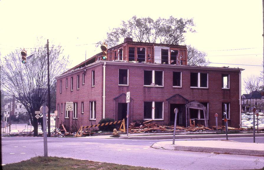
Just to the north of that was an apparent institutional structure. On the north end of the block (the southeast corner of Holloway and Cleveland) were the Boone Apartments, in a brick colonial revival apartment building.

While the service station was taken via urban renewal, the apartments were not. However, the building burned badly in 1969.


Looking east-southeast.
(Courtesy Durham County Library)

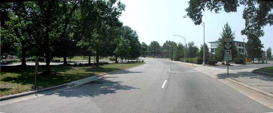
A few years later, this entire block was carved up into useless land by The Worst Intersection in Durham.


Looking east at the former 300 block of Cleveland St - the stub of the now-disconnected Cleveland St. is the entrance/driveway on the right.

This is the block that we need to get back by fixing the loop - you can see just how many structures were contained in what is now a no-man's-land. I showed comparative aerials of this intersection about a year ago, which give a good sense of the wasted land.

Add new comment

Log in or register to post comments.