Support OpenDurham.org
Preserve Durham's History with a Donation to Open Durham Today!
OpenDurham.org is dedicated to preserving and sharing the rich history of our community. Run by our parent nonprofit, Preservation Durham, the site requires routine maintenance and upgrades. We do not ask for support often (and you can check the box to "hide this message" in the future), but today, we're asking you to chip in with a donation toward annual maintenance of the site. Your support allows us to maintain this valuable resource, expand our archives, and keep the history of Durham accessible to everyone.
Every contribution, big or small, makes a difference and makes you a member of Preservation Durham. Help us keep Durham's history alive for future generations.

Comments
Submitted by Scott (not verified) on Thu, 8/9/2007 - 4:51am
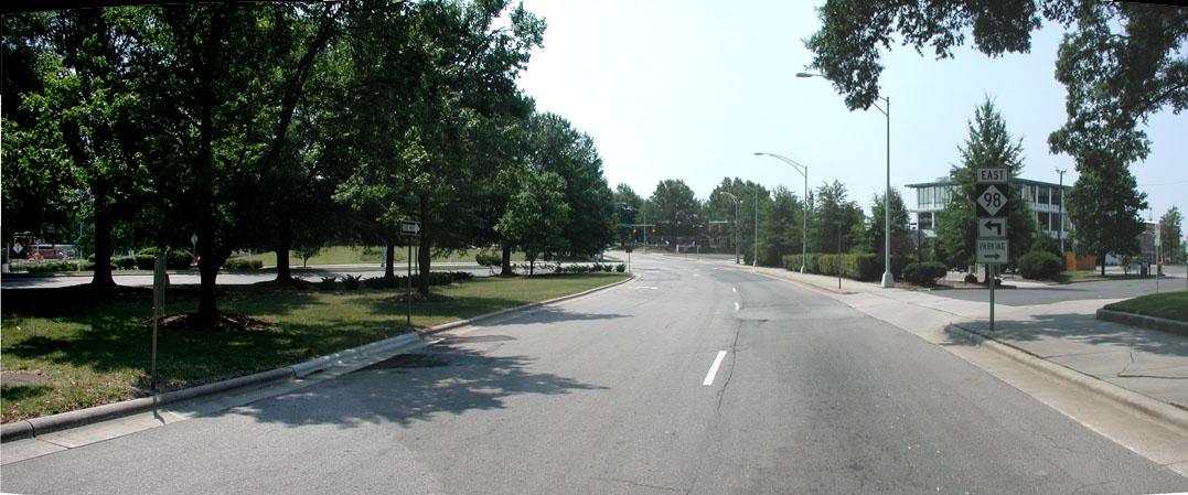
TWID - The Worst Intersection in Durham. Absolutely perfect, and 100% correct.
Submitted by Barry Ragin (not verified) on Thu, 8/9/2007 - 1:01pm
Sorry - Roxboro, Markham, and Mangum combine to make the Worst Intersection in Durham.
Possibly in the entire state.
Submitted by Michael Bacon (not verified) on Thu, 8/9/2007 - 4:05pm
No way, Barry. I know that one strikes you as bigger because it's in your back yard, but Roxboro, Markham, and Mangum is but a minor infraction compared to this monstrosity. In a city full of terribly designed intersections, this one takes it going away.
Submitted by Paul (not verified) on Sat, 8/11/2007 - 2:00am
"Intersection" isn't quite the word, because the problem is roughly two blocks long. How about "twilight zone?"
Submitted by Anonymous (not verified) on Sun, 7/13/2008 - 2:15am
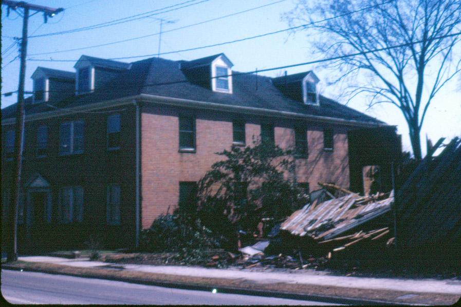
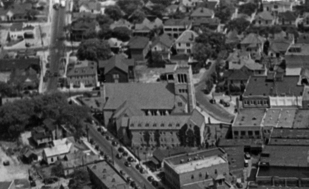
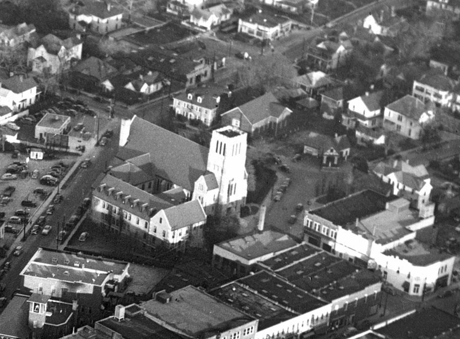
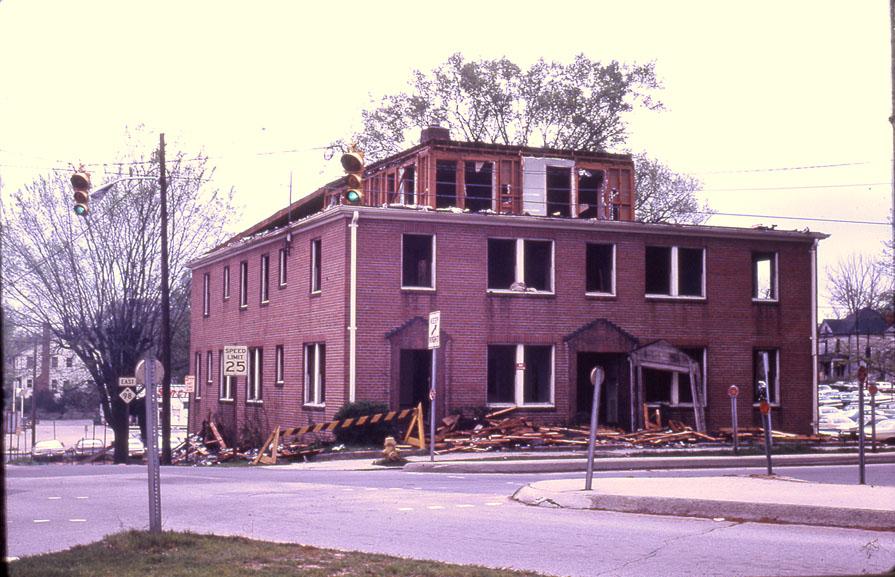
Boone Apt. Bldg. The 1st floor on the North side was the office of Dr. Waldo Boone from the early 1940 until late 1960. Across Holloway St.was a used car lot. David Fuller
Submitted by holly (not verified) on Wed, 2/8/2012 - 2:06pm
does anyone know more about Waldo Boone and the Uni-Can Corporation? They show up in the list of deeds for my house and I am trying to figure if he was actually a resident of my home. Would love to more more about him and his wife Myra.
thanks!
Add new comment
Log in or register to post comments.