Support OpenDurham.org
Preserve Durham's History with a Donation to Open Durham Today!
OpenDurham.org is dedicated to preserving and sharing the rich history of our community. Run by our parent nonprofit, Preservation Durham, the site requires routine maintenance and upgrades. We do not ask for support often (and you can check the box to "hide this message" in the future), but today, we're asking you to chip in with a donation toward annual maintenance of the site. Your support allows us to maintain this valuable resource, expand our archives, and keep the history of Durham accessible to everyone.
Every contribution, big or small, makes a difference and makes you a member of Preservation Durham. Help us keep Durham's history alive for future generations.
Comments
Submitted by Joe (not verified) on Thu, 9/21/2006 - 3:59am
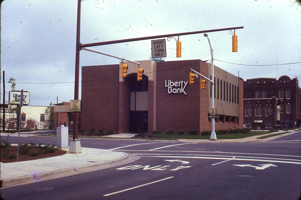
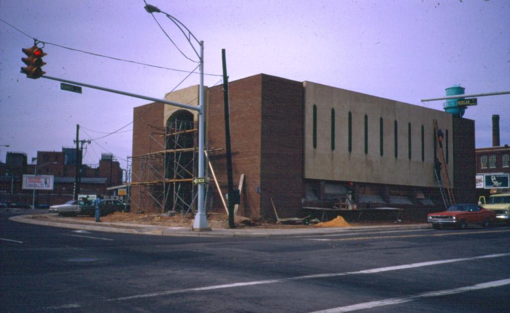
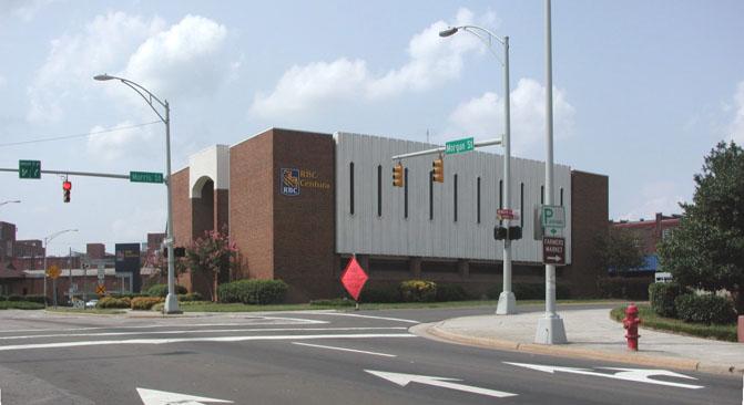
I noticed something yesterday while going to my bank downtown: here's Google's satellite view of the SouthBank building, and here's Google's shot of the BB&T building several blocks away. Similar construction, similar site plan, and similarly ugly (ok, maybe BB&B isn't quite as bad). At least the BB&T building isn't so pedestrian unfriendy: one can actually walk through the parking lot there fairly easily.
Submitted by Sven (not verified) on Thu, 9/21/2006 - 6:47pm
The BB&T building is close by. I agree that, in isolation, it is a friendlier building. But its siting is worse - surrounded by an equidistant moat of parking on all sides. The large setback, combined with the major grade change from Duke St., really abandon the street frontage. If it was the only choice I had, I'd switch the SouthBank building with the BB&T building, as each would work better at the other site.
Submitted by coco (not verified) on Fri, 9/22/2006 - 9:42pm
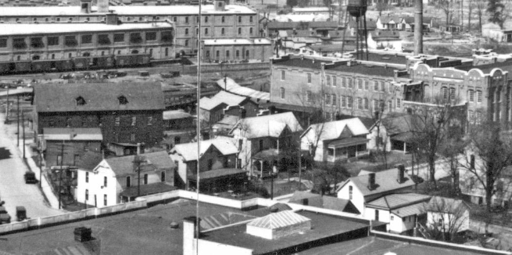
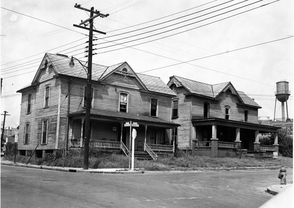
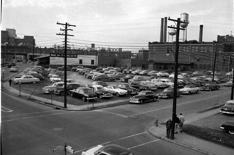
both banks are set up for chopper robbers to land on the roof tops. but more seriously, it is so sad to see the beautiful salvation army building that once was on morris street. i always am interested in more background: do you know why that was demolished?
Submitted by Sven (not verified) on Fri, 9/22/2006 - 9:48pm
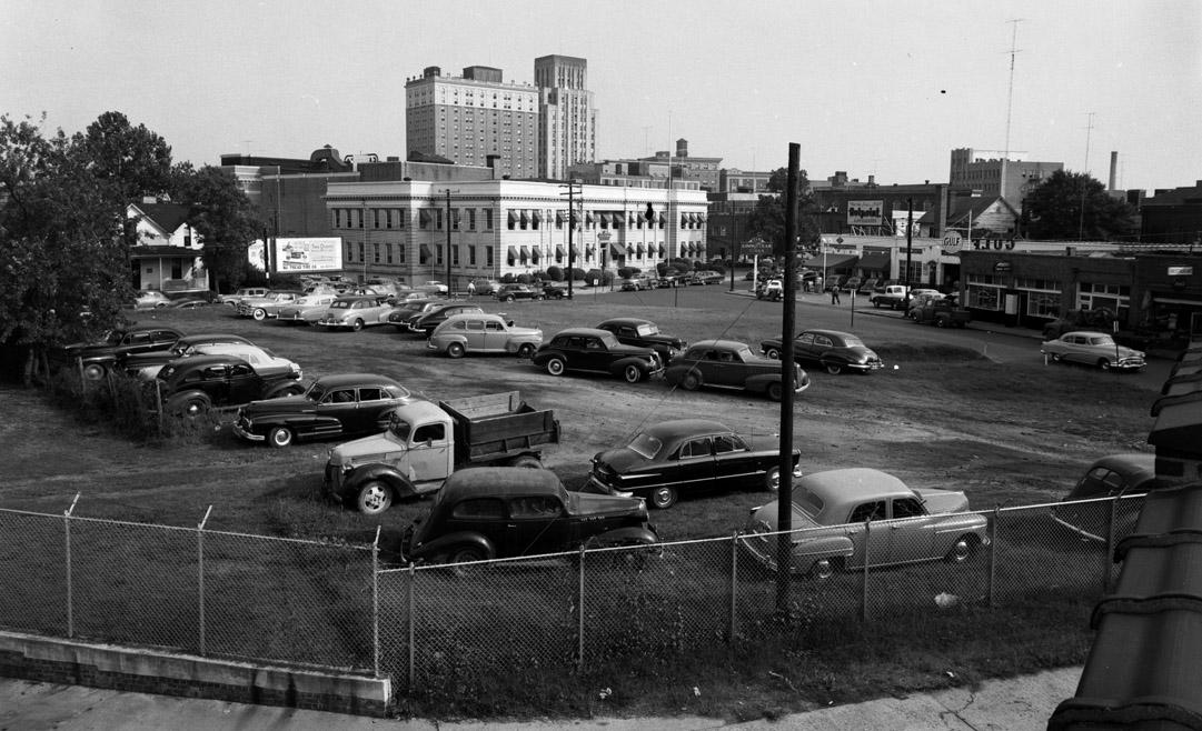
If you look at the 1960s era picture from my "Five Points -Northwest" post, you can see the Salvation Army building. I surmise from the pictures that all the buildings in this were demolished for either the Loop or the construction of the Southbank building.
Add new comment
Log in or register to post comments.