511 Fayetteville Street

35.987267, -78.896662

511
Durham
NC
Year built
1900-1940
Year demolished
1967
Construction type
Neighborhood
Building Type
Can you help?
You don't need to know everything, but do you know the architect?
Log in or register and you can edit this.


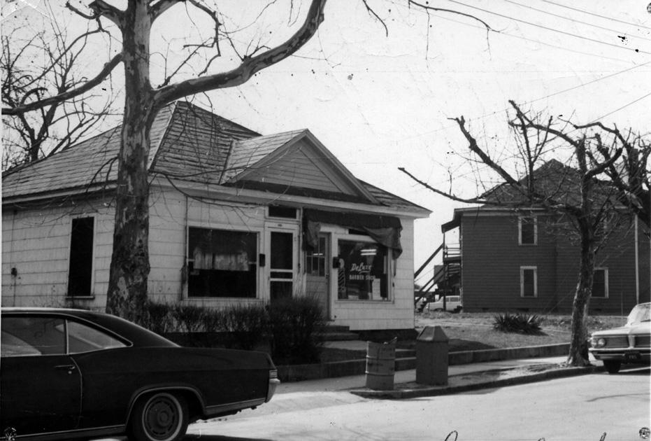
511 Fayetteville - likely late 1960s (demolition has already occurred around the structure.)
(Courtesy Durham County Library / North Carolina Collection)


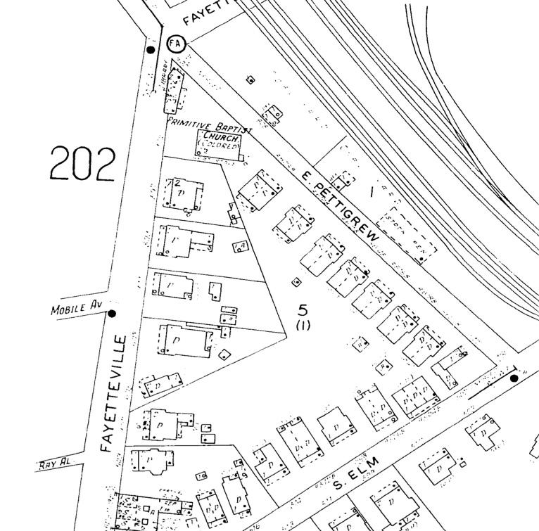
1937 Sanborn Map of the Intersection of Fayetteville St. and East Pettigrew.
(Copyright Sanborn Map Company)

The African-American Pilgrim Primitive Baptist Church was established near East Pettigrew and Fayetteville Sts. in the 1880s. Aside from a consistent listing in the city directories, there is very little information about this church, which, much like the white Primitive Baptist Church on Cleveland St. seems to have stood very much in the shadow of its more prominently holy neighbors. It was organized in 1883 by Elder Luke Webb, also pastor of the Mill Grove Primitive Baptist Church, 5 miles north of town.

Notably, this church was the location of the first "graded school" for African-American children in Durham, established in 1885-6, before the first permanent structure - the Whitted School at Ramsey and Proctor Streets - was established. (The school had another interim stop on Red Cross St. between the two.)

The remainder of the eastern side of the 500 block of Fayetteville, part of the 'Sugar Hill' portion of the Hayti neighborhood, consisted mostly of two story, early 20th century residential structures. For whatever reason, these seem mostly absent from the urban renewal records, so I only have some representative shots.


(Courtesy The Herald-Sun Newspaper)
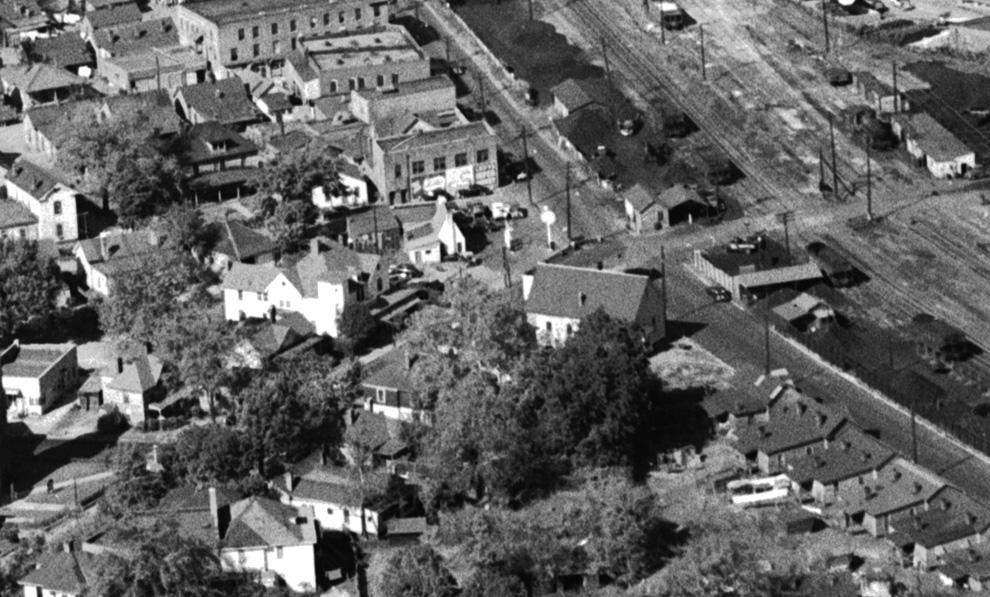
1940s aerial of the intersection of Fayetteville and East Pettigrew, looking northwest. The Primitive Baptist Church has the simple pitched roof, located on the near side of the intersection. The 500 block extended south to the intersection of Mobile Ave. (at the left side of the picture; it did not cross Fayetteville.)

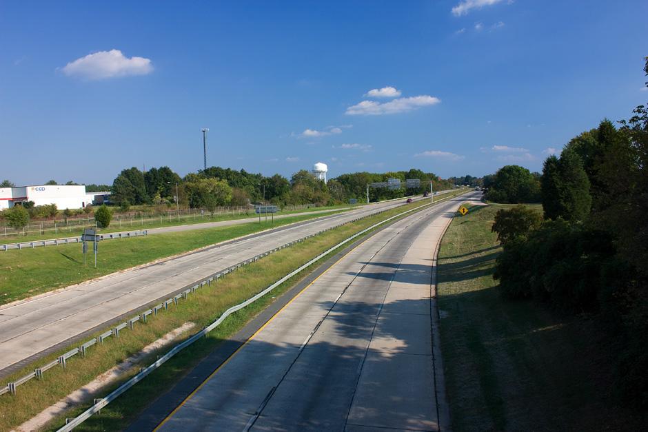
These structures were demolished by the mid-1960s by the urban renewal program, with the intention of this becoming part of the Durham Freeway right-of-way. This block would span the Freeway approximately from exit ramp to exit ramp, hovering ~20-60 feet east of the current overpass.


Area of the 500 block of Fayetteville St., 10.05.08


Find this spot on a Google Map.


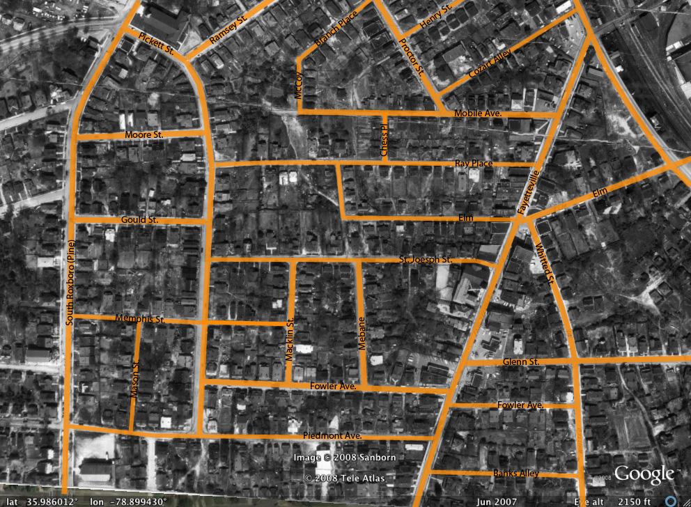
Hayti Streets, 1959.


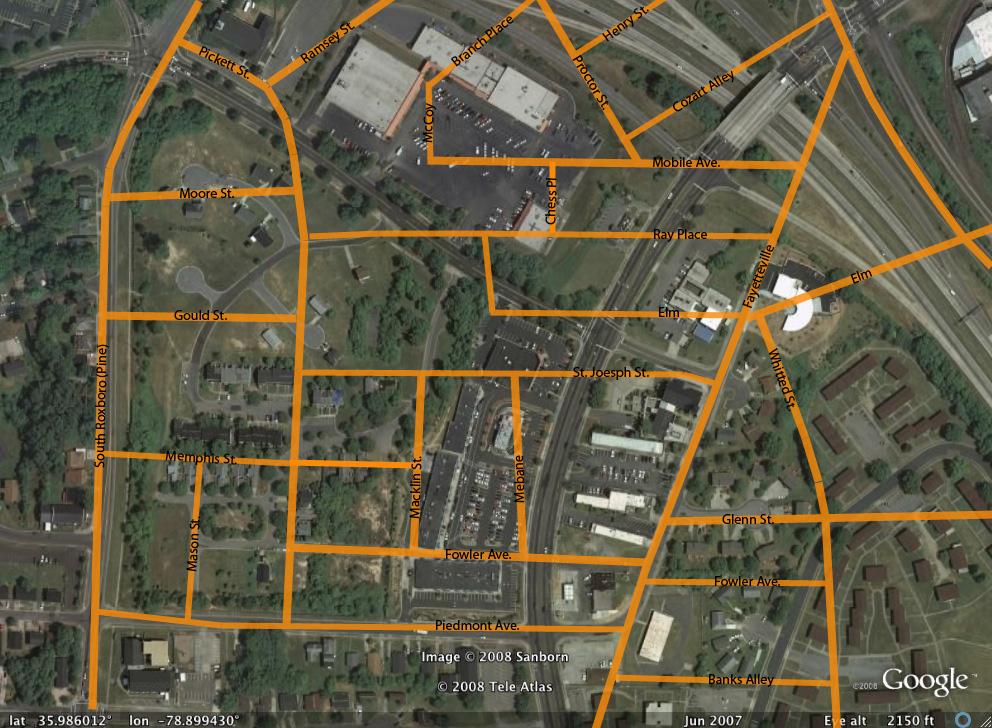
Hayti Streets, 2007


35.987448 -78.896704

Add new comment

Log in or register to post comments.