Support OpenDurham.org
Preserve Durham's History with a Donation to Open Durham Today!
OpenDurham.org is dedicated to preserving and sharing the rich history of our community. Run by our parent nonprofit, Preservation Durham, the site requires routine maintenance and upgrades. We do not ask for support often (and you can check the box to "hide this message" in the future), but today, we're asking you to chip in with a donation toward annual maintenance of the site. Your support allows us to maintain this valuable resource, expand our archives, and keep the history of Durham accessible to everyone.
Every contribution, big or small, makes a difference and makes you a member of Preservation Durham. Help us keep Durham's history alive for future generations.

Comments
Submitted by Anonymous (not verified) on Wed, 6/17/2009 - 3:29pm
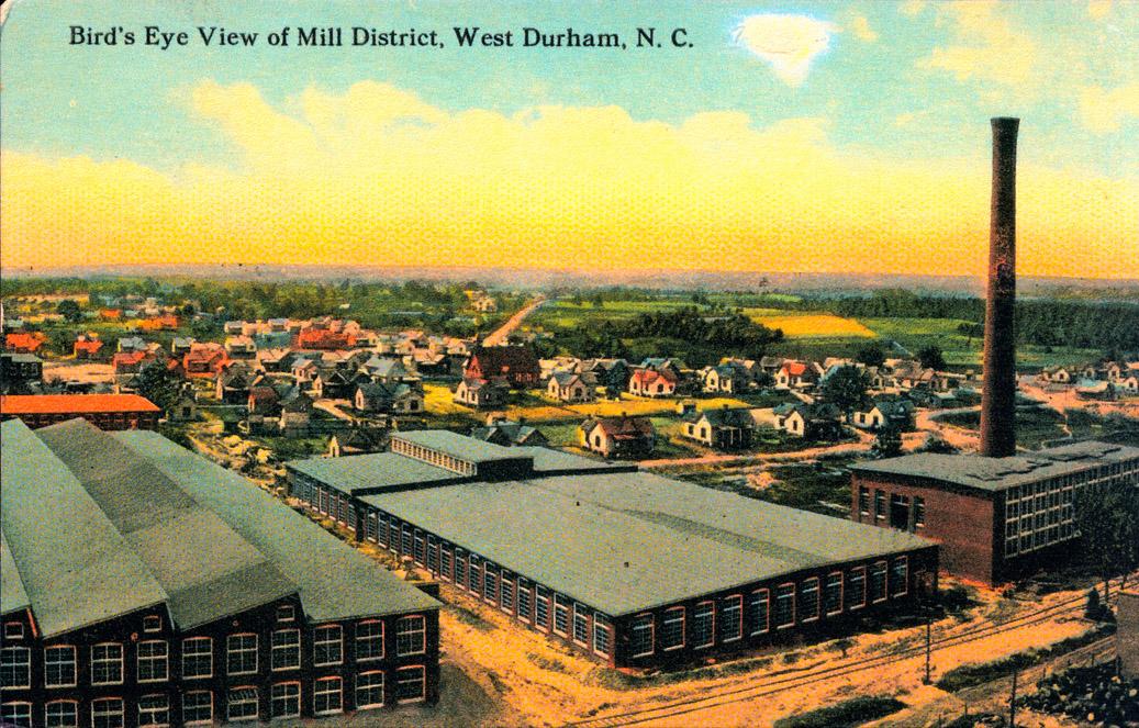
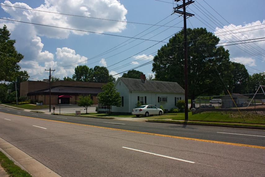
There is a similar building like the one shown in the first pic, lower left, called the Sawtooth Center in Winston Salem. It is part of an old converted textile mill that now houses an arts center. Too bad that part of Erwin Mills wasn't saved and converted to something useful. I thought the Sawtooth was the coolest building when I lived in Triad area,not to mention a great use of space.
Submitted by Anonymous (not verified) on Wed, 6/17/2009 - 11:56pm
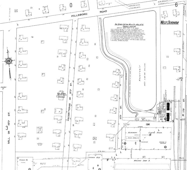
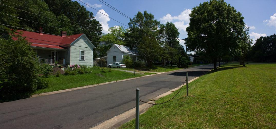
One of those houses on Rutherford was a serious party house in '89-90.
Submitted by Anonymous (not verified) on Sun, 6/28/2009 - 9:47pm
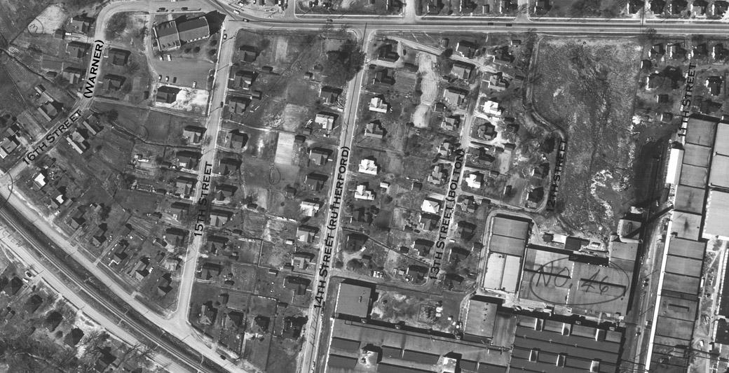
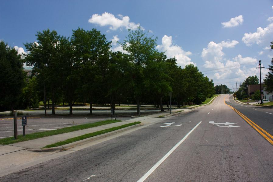
That parking lot at the top of 15th and R'ford Streets is now bottom-of-the-food-chain parking for Duke Hospital employees...
Submitted by David (not verified) on Fri, 8/9/2013 - 7:40am
There seems to be a lot of construction-type activity going on in the area bounded by Main, Rutherford, Hillsbourough, and 15th. Does anyone have any idea what's going on? All I can tell so far is that they're digging around in the dirt.
Add new comment
Log in or register to post comments.